Exciting changes are on the way!
As part of our merger with Polar Latitudes, we’re refreshing key elements of our website to reflect this new chapter. Discover more in our latest news update.
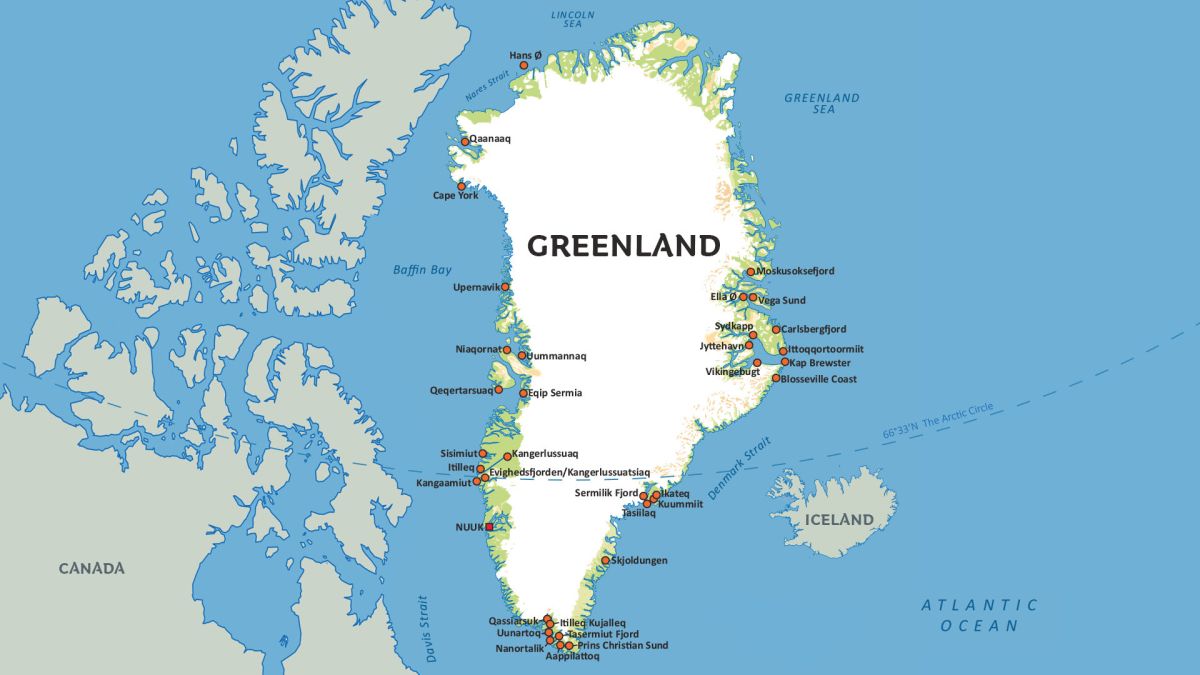
Greenland is the largest island in the world, covering an impressive 2,184,700 square kilometers (843,517 square miles). It stretches 2,700 kilometers (1,660 miles) from the southern tip, Cape Farewell, to the northernmost point at Cape Morris Jesup, and it's approximately 1,000 km wide. Covering latitudes between 59°N-83°N, and latitudes between 11°E-74°E, Greenland dominates the Atlantic Arctic.
To give perspective, that distance is about the same as the length of the entire Eastern Seaboard of the United States, from Florida to the US-Canada border. At its widest point, from Disko Bay in the west to Scoresbysund in the east, Greenland spans 1,300 kilometers (808 miles).
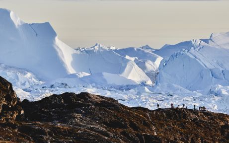
Greenland's formation dates back millions of years. Interestingly, it was once part of Africa but began drifting north around 439 million years ago. As it moved closer to the North Pole, about two million years ago, the colder climate produced massive snowfall, leading to the formation of the thick inland ice sheet that covers much of Greenland today. This slow shift continues, as Greenland is still moving westward by about two centimeters each year.
Facts about Geography of Greenland
- Arctic
- Greenland


