
Exciting changes are on the way!
As part of our merger with Polar Latitudes, we’re refreshing key elements of our website to reflect this new chapter. Discover more in our latest news update.
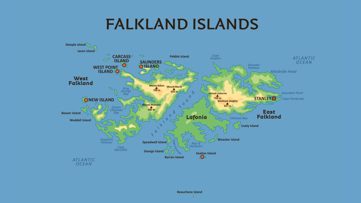
The Falkland Islands (Islas Malvinas) are an archipelago in the South Atlantic Ocean, situated on the Patagonian Shelf. They are located about 500 kilometers (300 miles) east of Argentina's mainland and approximately 1,210 kilometers (752 miles) from the northern tip of the Antarctic Peninsula. The islands are positioned around latitude 52°S.
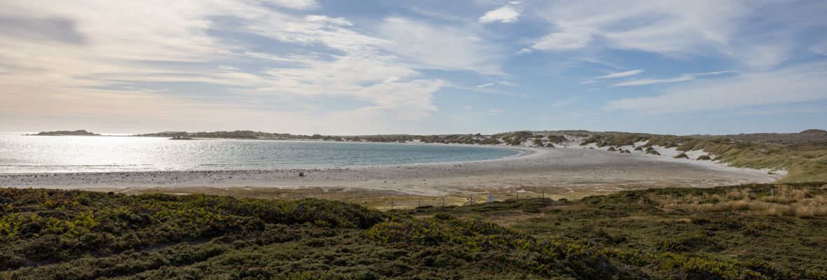
The archipelago consists of two primary islands, East Falkland and West Falkland, along with nearly 800 smaller islands. Altogether, they span around 12,000 square kilometers (4,700 square miles). The coastline, measuring roughly 1,300 kilometers (800 miles), features numerous inlets and natural harbors. The landscape is predominantly rugged, characterized by hills, mountains, and extensive peatlands. Mount Usborne, found on East Falkland, is the highest point at 705 meters (2,312 feet). The southern portion of East Falkland, known as Lafonia, contrasts with the rest of the terrain due to its relatively flat, low-lying plains.
Geologically, the Falklands are remnants of ancient continental crust that separated from the supercontinent Gondwana roughly 130 million years ago. Some of the oldest rock formations, found in the Cape Meredith area, date back around 1.1 billion years. These formations share similarities with those in South Africa and Antarctica. One of the most distinctive geological features of the islands is the presence of extensive stone runs—vast fields of boulders formed by freeze-thaw processes in past glacial periods.
Facts about Geography of the Falkland Islands
- Antarctica
- Falkland Islands