Geography
Iceland is a land of stark contrasts, shaped by both volcanoes and glaciers Iceland has some of the most unique geological features in the world. Covering an area of 102,775 square kilometres, it holds the title of the largest volcanic island on the planet.
Where is Iceland?
Iceland is located where the North Atlantic Ocean meets the Arctic Ocean, sitting directly on top of the Mid-Atlantic Ridge, the only part of this massive underwater mountain range that rises above sea level. This means Iceland is split between two tectonic plates: the Eurasian and North American plates. These plates are constantly shifting apart, which leads to frequent volcanic activity. One of the best places to see this geological drama in action is Þingvellir National Park, where visitors can literally walk between two continents, making it one of the most geologically significant sites in the world.
Facts about Geography
- Arctic
- Iceland
Iceland’s Volcanic Landscape
The island is dominated by a central volcanic plateau, with dozens of active volcanoes and lava fields. Over 80% of Iceland’s land is uninhabited, made up of highlands, lava fields, and glaciers. The interior of the island is rugged and remote, with some areas only accessible in the summer.
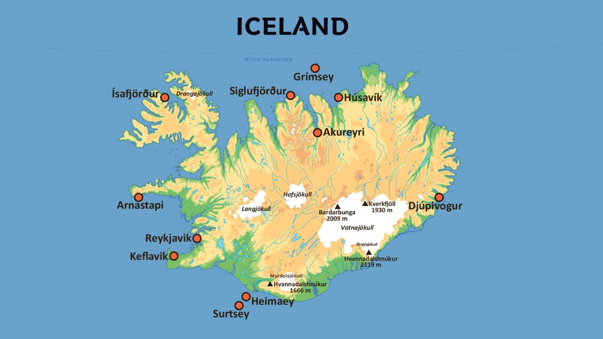
One of Iceland’s standout features is Vatnajökull, the largest glacier in Europe, covering around 10% of the country’s surface. Vatnajökull is not just a glacier; it’s also part of Vatnajökull National Park, which contains Hvannadalshnúkur, Iceland’s highest peak. The glacier also hides several active volcanoes beneath its surface, such as Grímsvötn, which occasionally erupts through the ice.
Coastline and Fjords
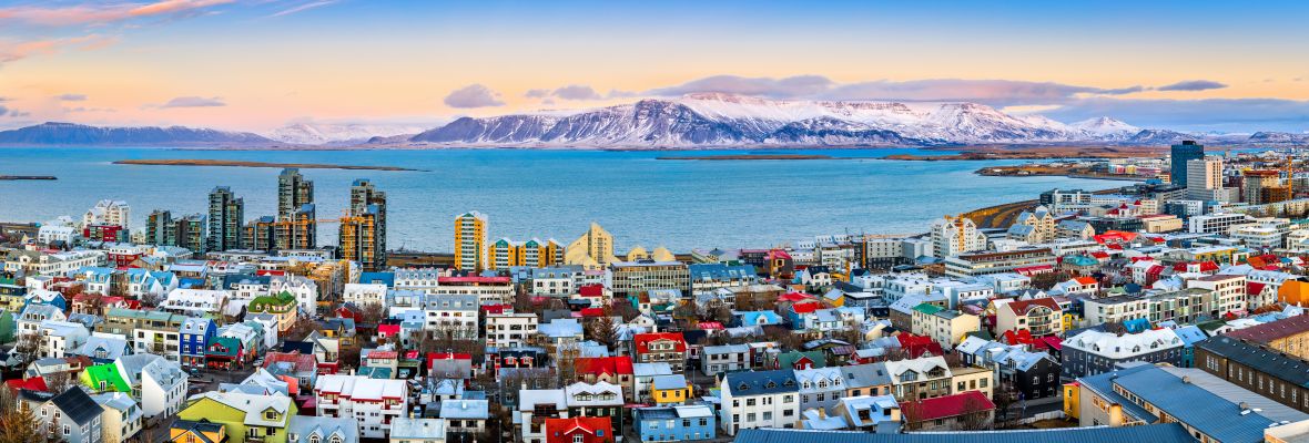
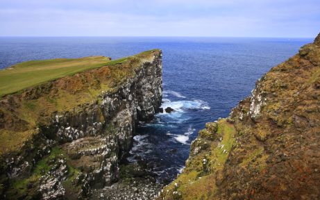
Iceland’s coastline is equally dramatic, with deep fjords cutting into the landscape, particularly in the Westfjords region. Here, sheer cliffs rise from the ocean, home to seabirds and scattered fishing villages. The black sand beaches in the south, like Reynisfjara, offer a sharp contrast to the icy peaks inland. Along this rugged coastline, you’ll find the majority of Iceland’s population, with most living near Reykjavík in the southwest.
Geothermal Energy and Hot Springs
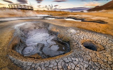
One of the most remarkable features of Iceland’s geography is its geothermal activity. The island is dotted with hot springs, geysers, and geothermal pools, all fueled by the volcanic forces beneath the surface. These geothermal systems provide the country with renewable energy, powering homes and businesses, but they also create unique opportunities for visitors. One of the most famous geothermal pools is the Blue Lagoon, located near Reykjavík, where people can bathe in warm, mineral-rich waters year-round.
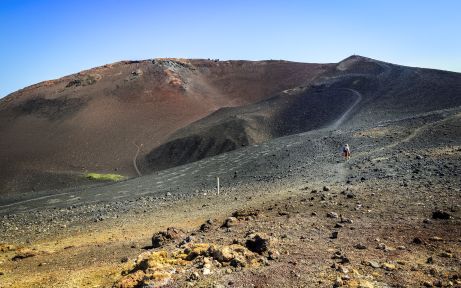
Iceland’s unique blend of glaciers, volcanoes, and geothermal features make it a place where nature is constantly reshaping the landscape. Whether it’s walking between tectonic plates, exploring a volcanic crater, or soaking in a geothermal pool, Iceland’s geography offers something that’s hard to find anywhere else in the world.