Map and Geography of Jan Mayen
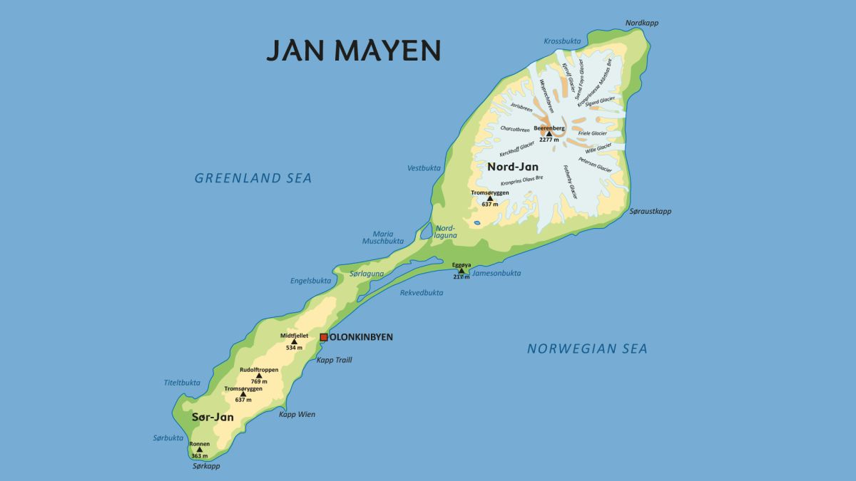
Stretching 55 km (34 mi) from southwest to northeast, Jan Mayen encompasses an area of 373 km² (144 sq mi) and is characterized by its dramatic landscapes, including rugged mountains and glaciers.
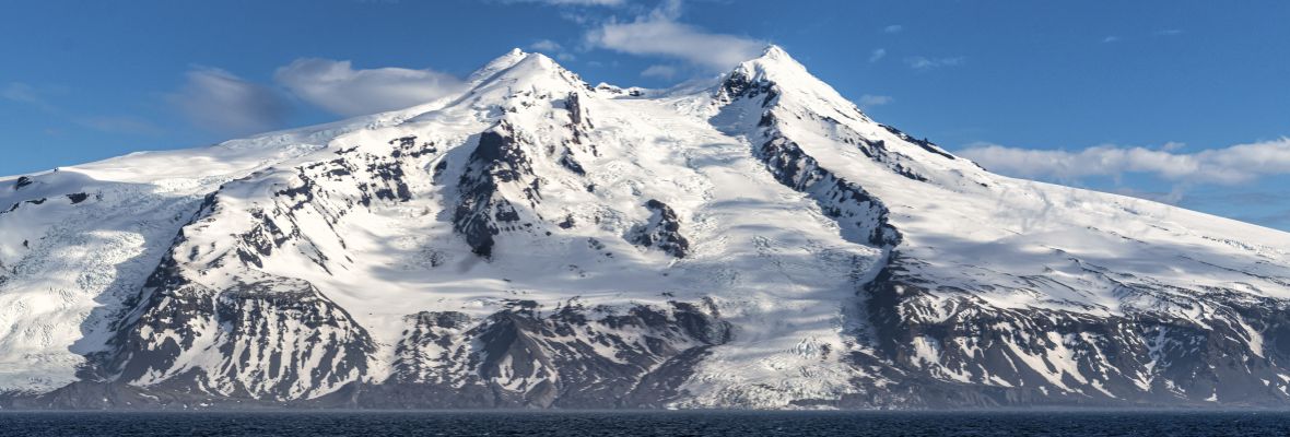
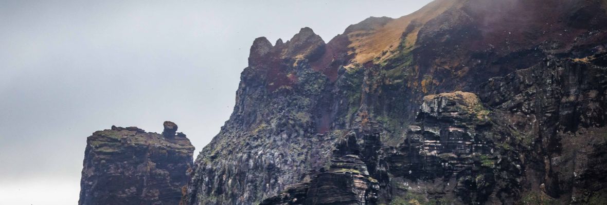
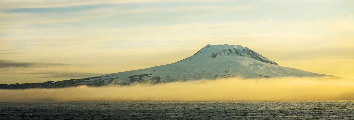
Jan Mayen is a narrow volcanic island, divided into two distinct regions: Nord-Jan in the northeast and Sør-Jan in the southwest. These two regions are connected by a 2.5-kilometer wide isthmus. The island covers an area of 373 square kilometers, and its landscape is dominated by the towering Beerenberg volcano, which stands at 2,277 meters (7,470 feet) and is the northernmost active volcano in the world.
The larger Nord-Jan is defined by the presence of this imposing volcano, which is covered in glaciers. The largest of these glaciers is Sørbreen, extending over 15 square kilometers. The glacier outlets make Nord-Jan rugged and challenging to traverse, with dramatic ice formations and steep volcanic slopes.
In contrast, Sør-Jan is much flatter and lacks the glaciation found in the north. The highest point in this region is Rudolftoppen, which reaches 769 meters (2,523 feet). This part of the island is home to the settlement of Olonkinbyen, where the island’s inhabitants live and work. While the terrain here is less dramatic than the north, it provides the infrastructure necessary for the island’s operations, including the meteorological station and airfield.
Facts about Map and Geography of Jan Mayen
- Arctic
- Jan Mayen


