Map and Geography of Arctic Canada
Arctic Canada is characterized by its landscapes, which are shaped by ice, wind, and extreme temperatures. It includes coastal plains, ice fields, and thousands of islands that stretch toward the North Pole.
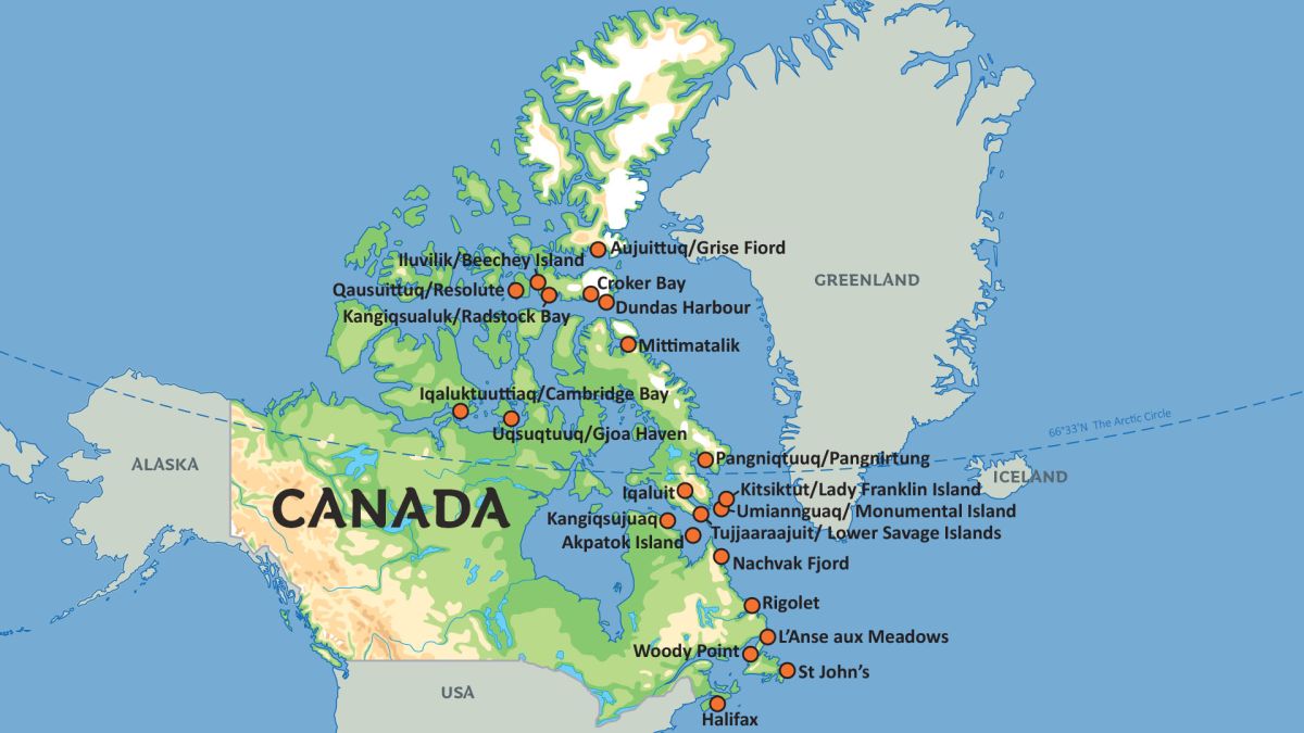
Arctic Canada is a huge territory covering nearly 40% of the country’s total landmass, and includes the northernmost regions of the Canadian mainland as well as the Arctic Archipelago. This region is mostly a tundra biome with glaciers and permafrost, much of the land is frozen year-round.
Facts about Map and Geography of Arctic Canada
- Arctic
- Canada
An Archipelago of over 36,000 Islands
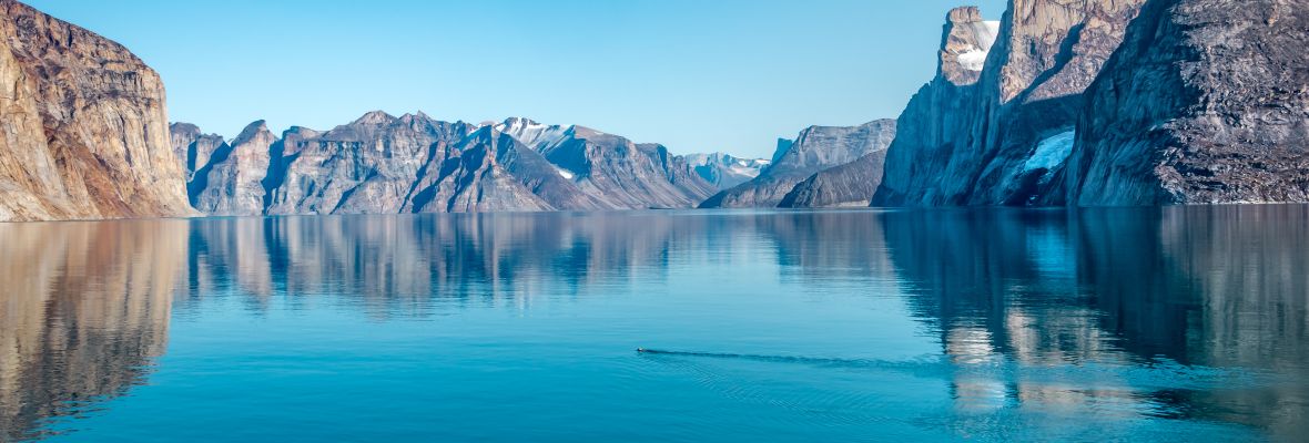
The Arctic Archipelago is a collection of over 36,000 islands that form the northern boundary of Canada. The largest islands, such as Baffin Island, Victoria Island, and Ellesmere Island, are marked by their coastlines, cliffs, and fjords formed by glaciers. These islands are surrounded by the Arctic Ocean, where sea ice covers the landscape for much of the year. Baffin Island alone covers 507,000 square kilometers - more than twice the size of Great Britain, and features a mix of ice-covered peaks and tundra, with some areas being home to glaciers that flow directly into the sea.
What's the Canadian Shield?
The Canadian Shield, a massive geological formation, covers a significant amount of Arctic Canada and is composed of ancient, exposed rock that dates back billions of years. This region also includes frozen lakes and rivers, which flow into the Arctic Ocean and Hudson Bay. The terrain here is barren, with little vegetation beyond a couple plants such as mosses, lichens, and shrubs that manage to survive in the brief summer months. Arctic Canada’s geography is heavily influenced by the presence of permafrost, which really limits their ability to grow vegetation or construct any form of infrastructure.